A cozy backyard overshadowed by chaos
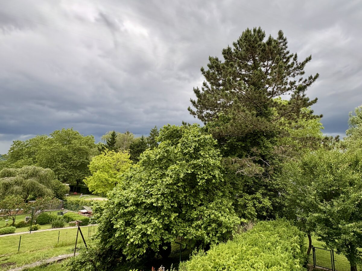
Picture a quiet summer afternoon in a lush green Luxembourg garden. You sit down with a cool drink to enjoy the serene peace of your peaceful lawn. Suddenly the bright afternoon sun vanishes behind a terrifying bruised canopy of dark clouds.
This dramatic contrast between peaceful green backyards and threatening dark skies has become a regular summer feature in the Grand Duchy. The sky turns from pleasant blue to apocalyptic dark in a matter of minutes. You barely have enough time to rescue your garden cushions before the sky breaks open.
The atmosphere is fueled up on extra energy
These dramatic shifts are no longer rare occurrences for residents of the region. Over recent years Luxembourg and the surrounding areas have experienced a noticeable increase in the sheer violence of summer storms. The science behind this trend comes down to heat and moisture.
As global temperatures rise the atmosphere heats up and holds vastly more moisture. For every single degree of warming the air holds roughly seven percent more water vapor. When cold and warm air fronts collide this extra moisture acts like high octane fuel. It creates massive storm clouds intense lightning and rain that falls with extraordinary power.
Torrential downpours and overwhelmed drains
In the past summer weather usually brought steady and prolonged rain that gently watered the countryside. Today the Grand Duchy increasingly suffers from sudden overwhelming bursts of water. Massive amounts of rain dump onto the land all at once instead of spreading out over hours.
These heavy rainfall events quickly outpace municipal drainage systems. Sealed urban streets and steep rural valleys transform into raging streams within minutes. The local drains simply cannot handle hundreds of litres of water crashing down simultaneously. Your cellar suddenly becomes an accidental indoor swimming pool.
Storms that refuse to move away
Another frustrating aspect of these modern summer tempests is their lack of movement. Changes in global weather patterns have altered the jet stream causing weather systems to move much more slowly across Europe. Storms used to sweep past rapidly and leave fresh air behind.
When a heavy storm cell forms over Luxembourg today it is far more likely to stall completely. The storm sits directly over a single village or city quarter and dumps its entire water payload over one spot. This leads to severe localized damage while the neighboring village two kilometres away stays completely dry.
Preparing for microbursts and heavy hail
The collision of intense heatwaves with cooler Atlantic air masses creates wild instability in the sky. This volatile atmosphere has led to a sharp increase in severe events like destructive microbursts giant hail and high speed winds. Garden furniture transformed into flying missiles is now a genuine local hazard.
Staying safe requires paying attention to weather alerts and keeping your gutters clean. When those dark ominous clouds start rolling over the hills it is best to step inside quickly. The serene Luxembourg summer is still wonderful but it now comes with a side of atmospheric drama.