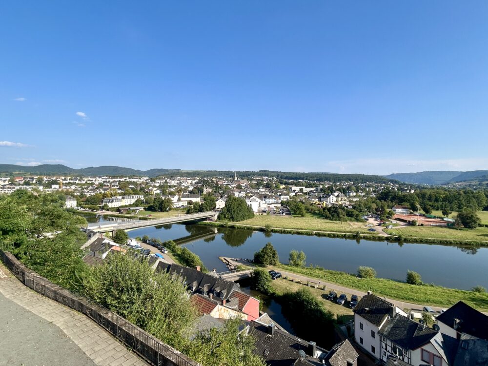
The Saar River, a significant tributary of the Moselle, flows through northeastern France and western Germany, including the picturesque town of Saarburg. Spanning 246 kilometers (153 miles), the river originates in the Vosges mountains and winds its way through the Saar coalfield and the Hunsrück uplands before joining the Moselle near Trier.
Dimensions and Economic Importance
The Saar River’s basin covers an area of approximately 7,431 square kilometers, three times the surface area of Luxembourg. Historically, the river has been a vital artery for the region’s economy, particularly in the iron and steel industries. The middle stretch of the river, between Saarbrücken and Dillingen, is a hub of heavy industry, while the northern part of the valley is renowned for its wine production, especially Riesling.
History and Geopolitics
The Saar River has played a crucial role in the geopolitics of the region. It has served as a natural border between France and Germany, and its control has been contested in various conflicts, including the Franco-Prussian War and both World Wars. The Saar region was particularly significant during the 20th century, being administered by the League of Nations after World War I and later becoming a focal point of Franco-German tensions.
Flooding History
The Saar River has also been prone to significant flooding. Notable floods have occurred in recent history, including the catastrophic floods in May 2024, which led to severe damage and evacuations in Saarland. These events highlight the ongoing challenges of managing the river’s flow and protecting the communities along its banks.
#SaarRiver #Saarburg #History #Economy #Flooding


